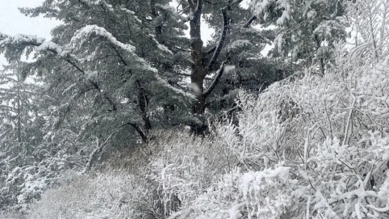
LONG ISLAND, NY — Most of Long Island saw about a foot of snow on Sunday — and as of about 4:45 p.m., sleet began to blanket the region, the National Weather Service said.
According to Brian Ciemnecki, meteorologist with the NWS office in Upton: "The damage is done with the snowfall. We've seen some pretty big amounts."
Almost the entirety of Long Island saw at least 6 inches, he said, and many areas got just about a foot.
Sleet is moving in, despite temperatures on Long Island in the lower 20s Sunday evening, he said. "What's happened is we've had some warm air above the surface moving over the area. It's changed the precipitation type to sleep, and we'll see a period of sleet for the next couple of hours. On the South Shore, temperatures could rise enough to bring a light freezing rain or drizzle," Ciemnecki said. "That won't last very long — and we'll start to see the system wrapping up and getting out of her during the day tomorrow."
The question remains, he said, about whether there will be any leftover snow for snow showers Sunday into Monday, he said. "We're not looking at any real significant additional accumulation," Ciemnecki said. "The heaviest precipitation will be out of here by tomorrow."
What won't dissipate, however, will be the cold temperatures. "Monday will be cold, below freezing," Ciemnecki said. "Everything is going to be ice and frozen."
Temperatures are expected to remain in the 20s through Friday, he said.
Snow accumulation
With snow totals starting to pour in, Ciemnecki outlined the areas hit the hardest:
Suffolk County
Northport: 11.5 inches
Centerport: 11.3 inches
Sag Harbor: 11.2 inches
East Northport: 10.5 inches
Copiague: 10 inches
Islip Airport: 11.2 inches
Nassau County
Glen Cove: 12.1 inches
North Merrick: 12.1 inches
Locus Valley: 11.5 inches
"The challenge is going to be the sleet and freezing rain," said Joe Pollina, meteorologist with the NWS office in Upton, earlier this week. "We're going to see almost a foot of snow and then, sleet and possibly freezing rain on top of that, adding another layer of ice. It's going to be slicker than just the snow."
Residents should not drive if possible on Sunday. "Stay home until all the snow and other precipitation has fallen, then you can start the dig-out. But it's still going to be very cold so people need to bundle up when they go out and come inside often."
Residents, the NWS said, should expect "lingering significant travel impacts likely for the Monday morning commute, possibly into the Monday afternoon/evening commute."
Source: https://patch.com/new-york/riverhead/countdown-snow-storm-set-begin-long-island-what-expect