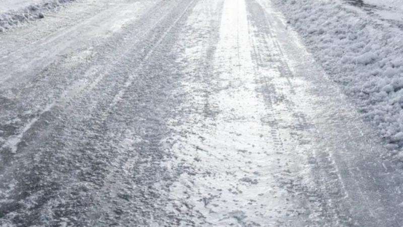
LONG ISLAND, NY — Baby, it's cold outside: A cold weather advisory remains in effect through 10 a.m. Saturday morning, and then again from midnight through 10 a.m. Sunday, according to the National Weather Service.
Snow is no longer expected to fall across Long Island this weekend, except for a 30 percent chance of snow Sunday on the eastern end of Long Island near Montauk, where about 1/10th of an inch is possible, James Tomasini, meteorologist with the National Weather Service office in Upton, said.
According to the NWS, temperatures will range from 0 to 10 degrees Saturday morning, then around 10 degrees late Saturday night into Sunday morning. Wind chills of minus-5 degrees are expected Saturday morning and Saturday night, will range from minus-5 to minus-10 degrees into Sunday morning, the NWS said.
"Frostbite and hypothermia are possible if proper precautions are not taken," the NWS said. "Frostbite may occur in as little as 15 to 30 minutes on exposed skin."
In addition, the NWS said, poorly insulated water lines along exterior walls could freeze and burst.
Also, the NWS said, north winds of 15 to 25 miles per hour, with gusts of 30 to 40 mph, are expected during the day Sunday, with the strongest near the coast. A few gusts up to around 45 miles per hours are possible over mainly Long Island, but may include parts of NYC and coastal southeastern Connecticut, the NWS said.
Minor coastal flooding is possible during times of high tide Sunday morning through Monday morning; minor shoreline impacts are possible, the NWS said. Ice jamming along north-facing shorelines could exacerbate flooding in spots and cause minor shoreline structural damage, the NWS said.
Source: https://patch.com/new-york/easthampton/li-weekend-weather-what-expect-will-there-be-snow